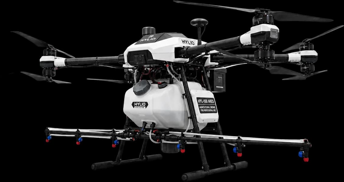
Hylio HYL-150 ARES Agricultural Drone
Used for precision aerial application and land mapping. Supports efficient coverage and accurate planning across large areas.
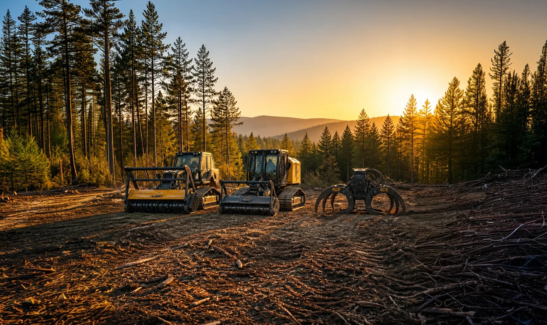
Reduce wildfire risk with strategic vegetation management.
Request Land AssessmentThis service reduces combustible vegetation and creates defensible space to help protect land and property from wildfire threats. It is a proactive approach to safety and long-term land management.
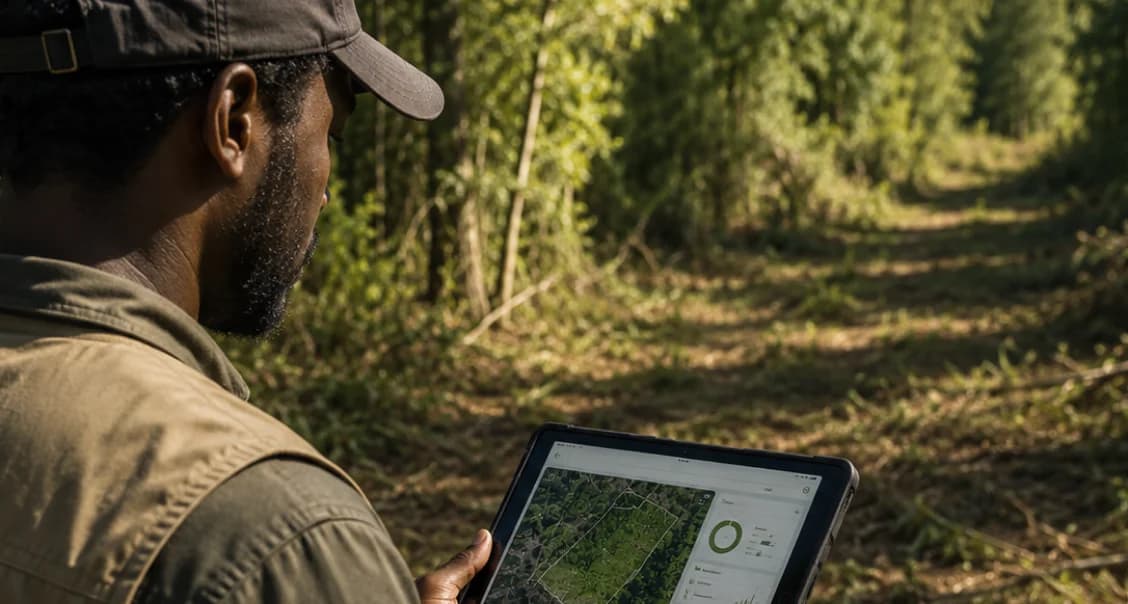
We assess vegetation, access, and areas where accumulated fuels need attention.
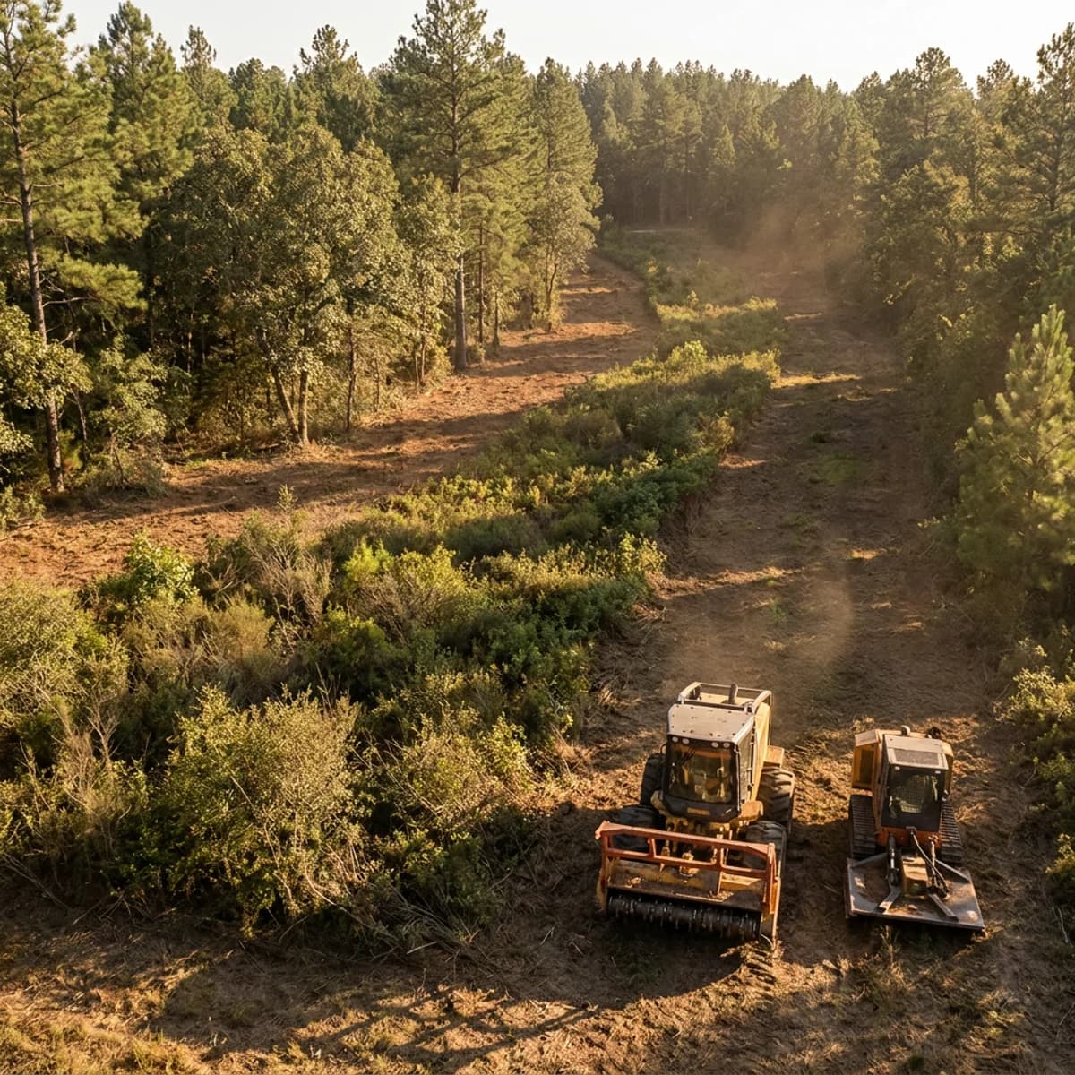
Priority zones are identified for firebreaks and fuel reduction.
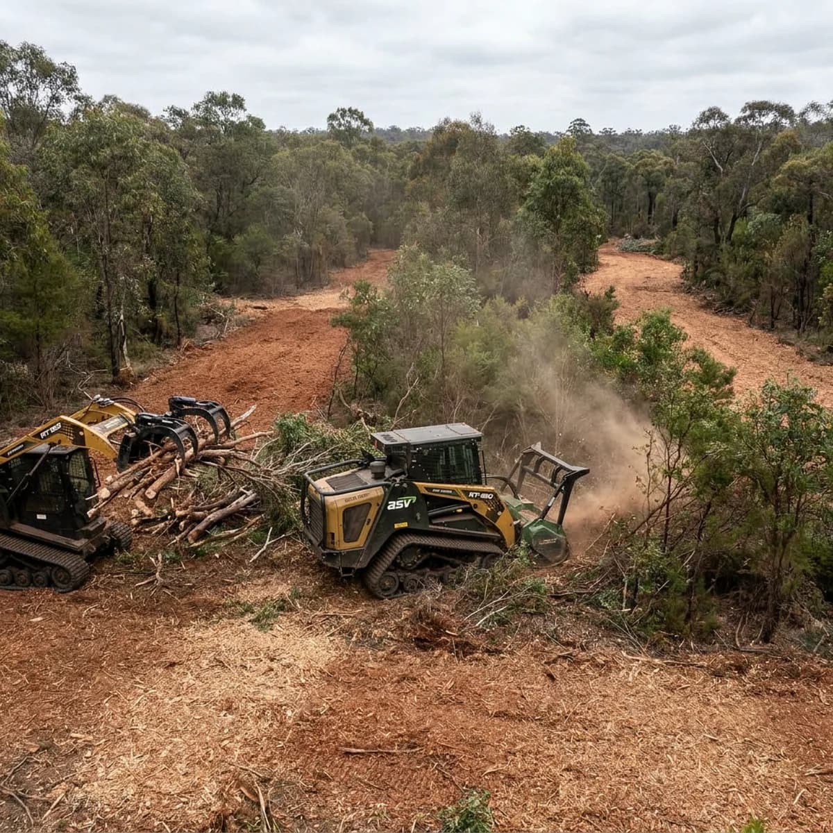
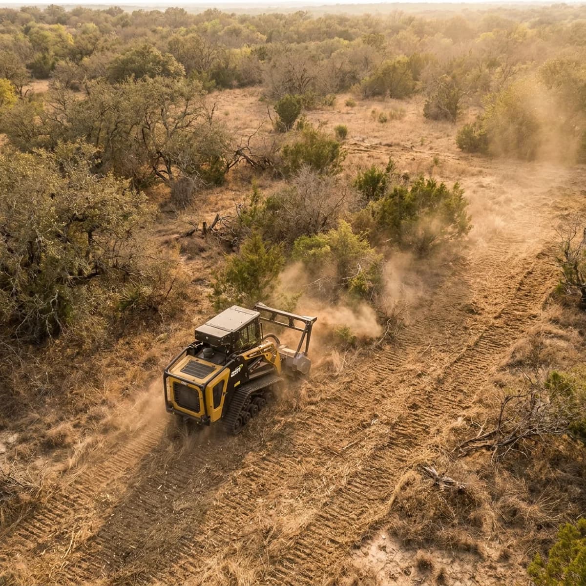
Excess vegetation and woody debris are cleared to reduce fuel load.
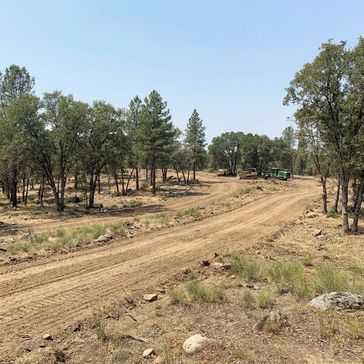
We review cleared areas and access routes against the agreed fuel reduction plan.
Used for precision aerial application and land mapping. Supports efficient coverage and accurate planning across large areas.
The TASFRL newsletter
News, upcoming events, and resources for farmers, ranchers, and landowners.
Subscribe to our newsletter
Free updates. No account required.